Sistemas de Informação Geográfica na pesquisa e no ensino de geografia histórica
DOI:
https://doi.org/10.34019/2447-5246.2019.v24.27866Abstract
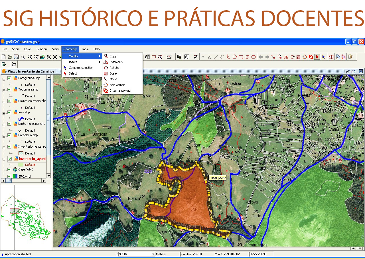
It is demonstrated the trajectory of a researcher who values the techniques of Geographic Information Systems (GIS) applied to teaching and research in geography (historical). It is revealed the methodology for the construction of geo-historical map series, used in the representation of the railway implantation in the old province of São Paulo, as well as in the representation of the implantation of districts and municipalities related to the population found in censuses and surveys carried out in the XIX century. Finally, it is showed the history of the Group of Studies and Research of Historical Geography (GEOHISTORICA), in researches being carried out and in initiatives of teaching of historical GIS techniques.
Downloads
Downloads
Published
How to Cite
Issue
Section
License
Ao submeter um artigo à revista Educação em Foco e tê-lo aprovado, os autores concordam em ceder, sem remuneração, os seguintes direitos à Educação em Foco: os direitos de primeira publicação e a permissão para que Educação em Foco redistribua esse artigo e seus metadados aos serviços de indexação e referência que seus editores julguem apropriados.